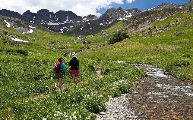
 Hiking
Season: Summer to early autumn
Guided hike in the San Juan Mountains
- Alpine lakes and wildflower meadows
- A guide who knows the altitude and weather
Geology
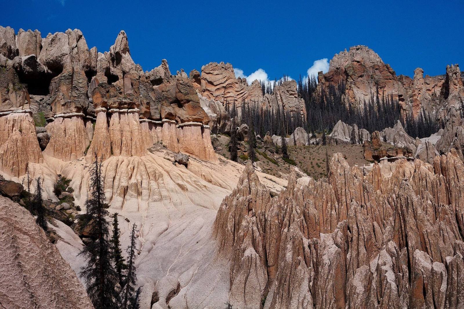
High in the La Garita Wilderness east of Creede, wind and water have carved pale volcanic ash into a maze of spires, domes and narrow gullies. Few people make the trip, and that is part of the magic.
The formations are made of tuff, volcanic ash laid down by enormous eruptions in the San Juan Mountains tens of millions of years ago and since carved by rain, frost and snowmelt. In 1908 the area became Wheeler National Monument, one of the first in Colorado. So few people could reach it that the monument was abolished in 1950, and today it is protected as part of the La Garita Wilderness.
From Creede, drive about 7 miles southeast on Highway 149, then turn left onto Pool Table Road, Forest Road 600. After about 10 miles of gravel you reach Hanson’s Mill, an old sawmill site with a campground and the trailhead. Ordinary cars can usually reach Hanson’s Mill in dry weather.
Book ahead
Hiking
Season: Summer to early autumn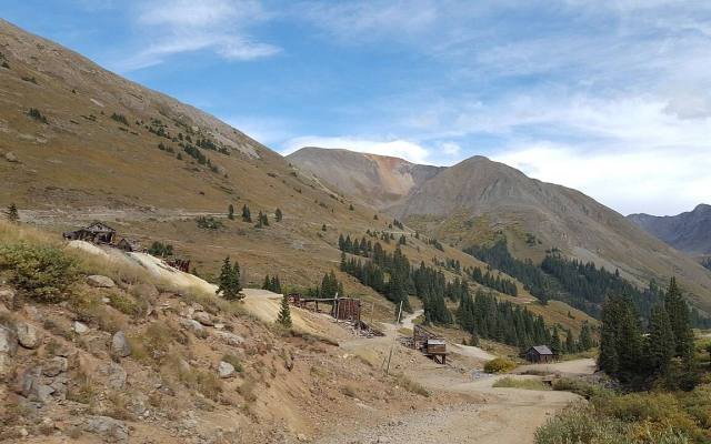 4x4 tour
Season: Summer to early autumn
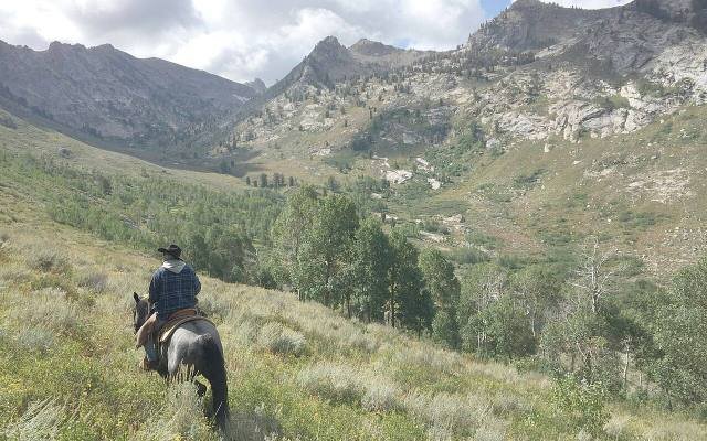 Outdoor activity
Season: Summer to early autumn
Nearby
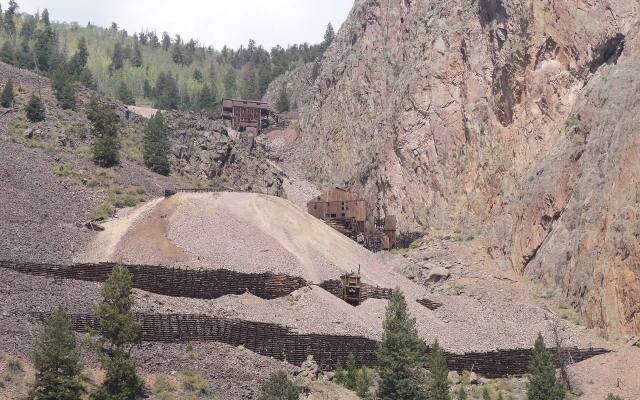 Historic drive
Mines, cliffs and a ghost town
A 17-mile gravel loop from the top of Main Street through Willow Creek Canyon and the old mining district, past cliffside mines and the site of Bachelor.
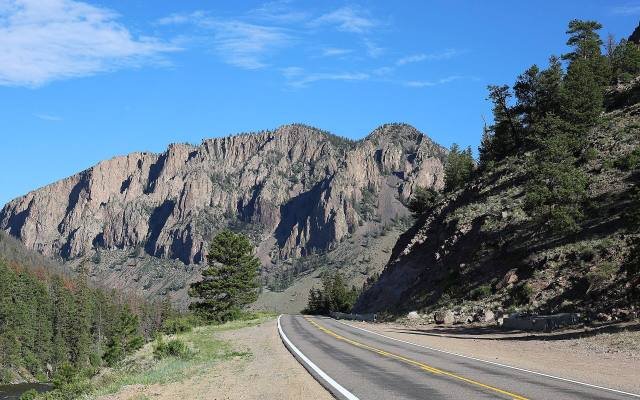 Scenic drive
South Fork to Lake City
Highway 149 for 75 miles from South Fork through Creede and over the Continental Divide to Lake City, past canyons, waterfalls and high passes.
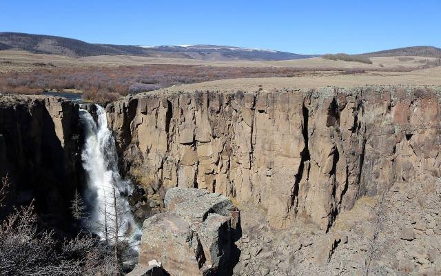 Waterfall
A 100-foot plunge off the highway
A waterfall that drops about 100 feet into a basalt canyon, a short drive off Highway 149 and one of the most photographed sights in the San Juans.